

GPS coordinates:
Latitude: 44.07455560N - Longitude: 5.00844444E
or 44°04'28.4"N 5°00'30.4"E
By car: (Plan your own route directly by clicking on "Itinéraires" in the google Maps window above)
Motorway A7/E714 (exit 23 Avignon Nord), express way Avignon Carpentras D942 (direction Carpentras), take exit Monteux-Est Loriol-du-Comtat, at the round about follow direction Loriol du Comtat. Drive 3,1kms on D107. Approaching, the village, at the roundabout, take 2nd exit: "Chemin de la Ramadone" for 250m. Reaching a crossroads, take 1st right: "Avenue François Jouve". After 200m, take on the left "Chemin Fond". The Gite du Barriot will be at 300m on your right.
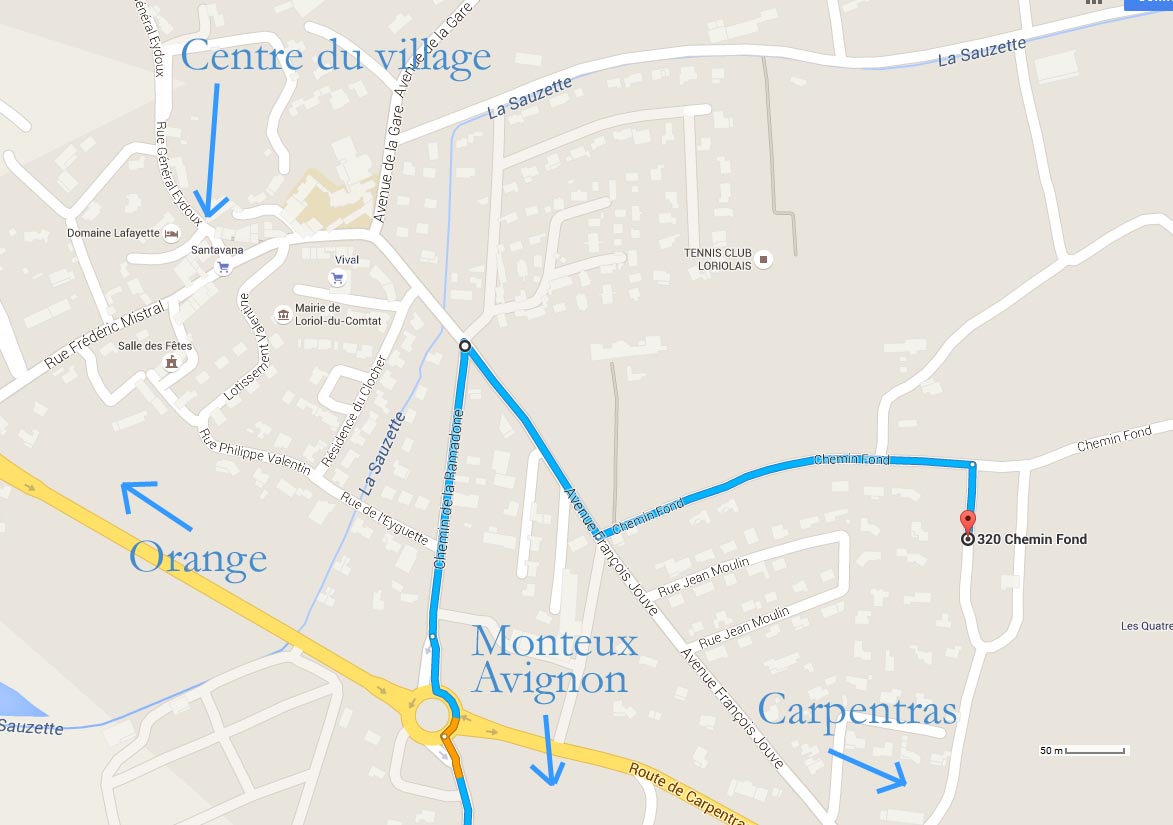
How to get to the gite from the village centre.
By train:
Carpentras station (6km)
Avignon station (Avignon Centre or Avignon TGV) (respectively 27km or 30km)
Orange station (21km)
Aix en Provence station (Gare TGV) (98km)
By plane:
Avignon Provence airport (31km) www.avignon.aeroport.fr
Marseille Provence airport (92km) www.marseille.aeroport.fr
Nimes airport (75km) www.aeroport-nimes.fr
(Estimated distances by Google Maps)

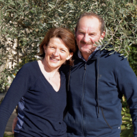 Farmers in the familial business for more than 30 years, we are happy to welcome you in our holiday rental. We are looking forward to helping you discover the real and authentic Provence, with advice, ideas of the region we appreciate a lot. We hope you will discover all the charming aspects of the area.